It starts where the Trent Severn Waterway ends and it ends where the North Channel begins – Port Severn to Killarney. It is Georgian Bay’s Small Craft route that winds its way through the Thirty Thousand Islands.
One hundred seventy-five miles long, the Small Craft Route runs through clear fresh water, the weathered remnants of some of the oldest rocks on earth and the iconic twisted pines that captivate so many artists. Every turn around a buoy is a new breathtaking view of rugged landscape. Gambling your hull, drive shafts, propellers and any other pod thing that hangs below your boat – seems a small price to pay to cruise such a beautiful area. It is definitely for small craft – sailboats and large cruisers rarely risk their keel or props kissing the rocks of it’s many narrow passageways. It’s hair pin turns, depths less than 10 feet, rocks everywhere on its dotted red/green pathway.
Hugo and I came into this game feeling fairly confident. We had both been boating since we were kids. My family owned an island 12 miles out from Parry Sound for 40 years. After selling the cottage in 2014, we bought a 29 foot Ranger Tug to explore the Pacific Northwest. It was a stiff learning curve but we mastered the navigation, tidal currents, weather warnings, port etiquette required by journeyman recreational boaters on the west coast of Canada. But even with all of that, we found cruising the Small Craft Channel a test of concentration accompanied by brief intervals of elevated heart rates. So far so good, but I won’t anger the boating gods by claiming we have ‘mastered’ the route. One wrong move and you are wondering if you should call a Mayday on the VHF or skip the whole process and just call the towing company on your cell.
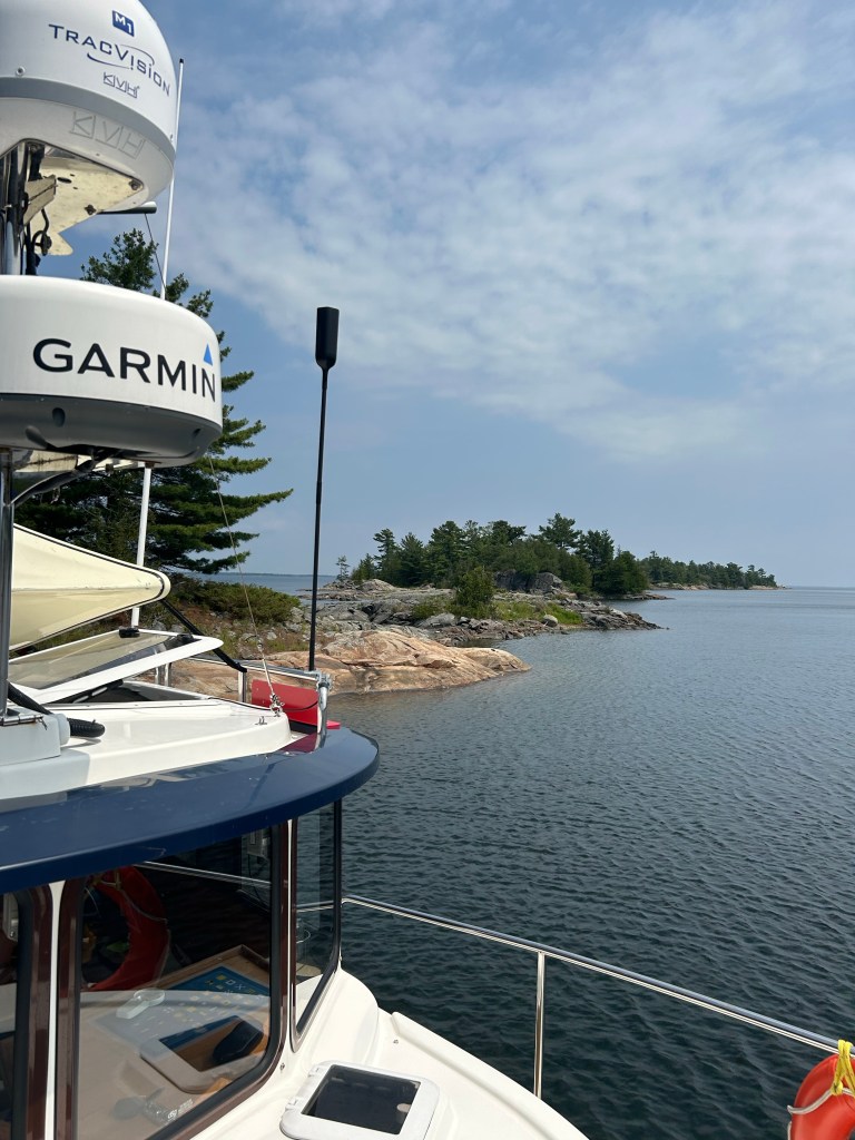
The advent of the electronic chart plotter makes this 175 miles of rocky coast easier and safer. But to believe all problems are solved by the use of a Garmin or Navionics is a foolish assumption. Chart up or north up can be confusing as you twist and turn. The pink route line, depending on how much you are zoomed in or out can obliterate an important buoy. Some channels are narrow, less than 40 feet, so your forward momentum can mean trouble milliseconds before your chart plotter updates your actual position. The buoys positions often look reversed but don’t be fooled, they are not. We were baffled by what we later learned was a magnetic anomaly near the Bustards. We call out the buoy number as we pass – and check it against the chart plotters (yes two) and the paper charts.
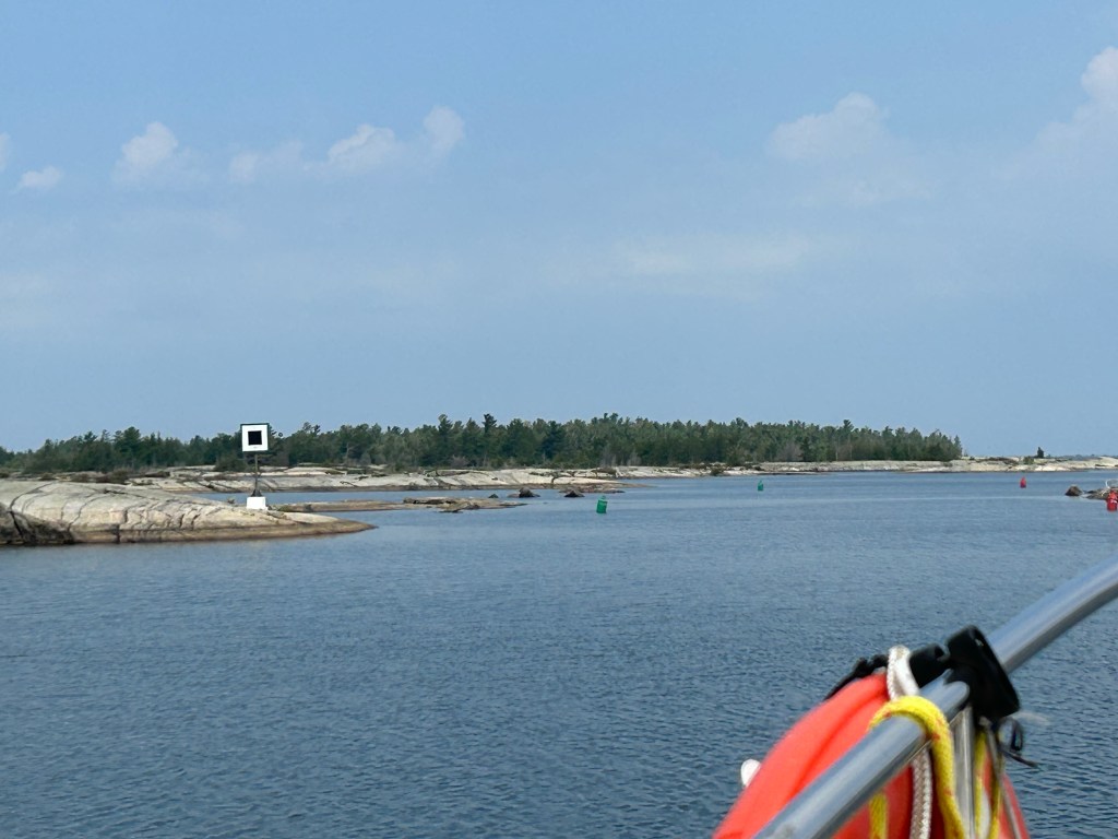
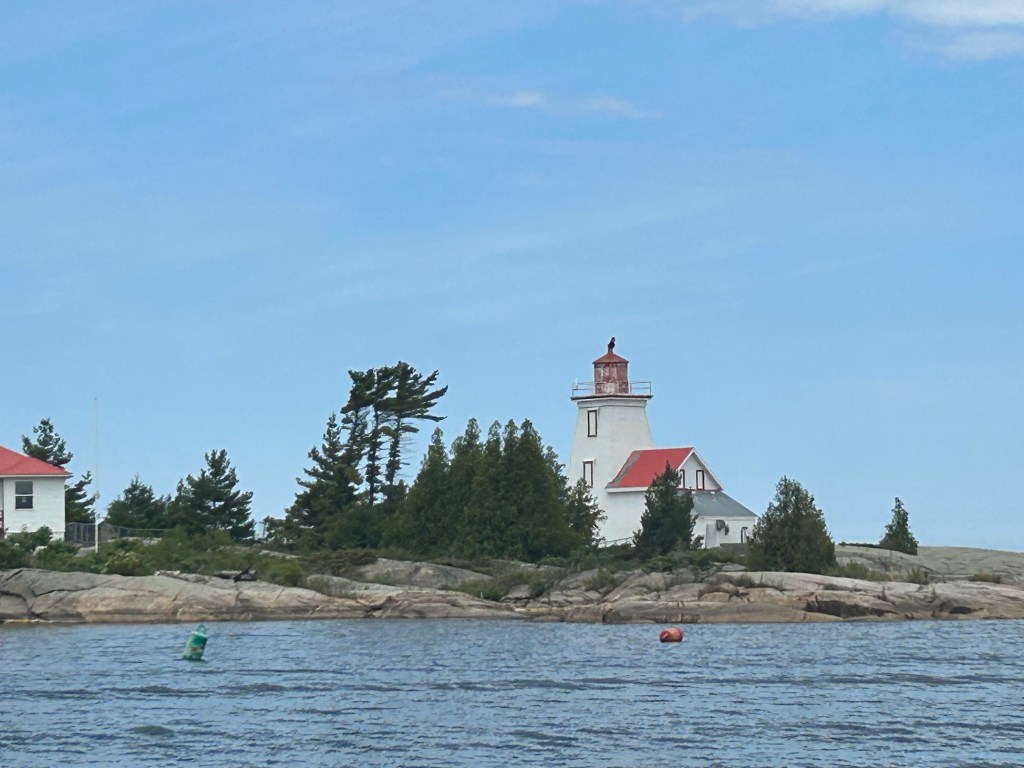
The Canadian Coast Guard works diligently at keeping the 1000 or so buoys, beacons, lighthouses, ranges and markers in repair and more important, in the right place. They scramble every spring as soon as the ice is out to check and reposition every buoy. To work for the coast guard in this area, it pays to have advanced degrees in geometry and psychology. Many a boater who has come to grief in the Small Craft Route have said “but I was in the channel!” Sadly, totally different but converging channels can mean what looks like your route, really isn’t. “But I was in the channel” may be the refrain of every boater but the reality is, they weren’t.
Any boater can chose to avoid the Small Craft Channel by taking the one of the many outer routes. It is clear sailing from the harbours on the Bruce Peninsula to Killarney. These outer routes bypass the cottager traffic in Honey Harbour, Parry Sound and Pointe au Baril. Cruisers and sail vessels can duck the intricate navigation required through the heart stopping channels of the inner route. Many bypass the Small Craft Route and do it this way.
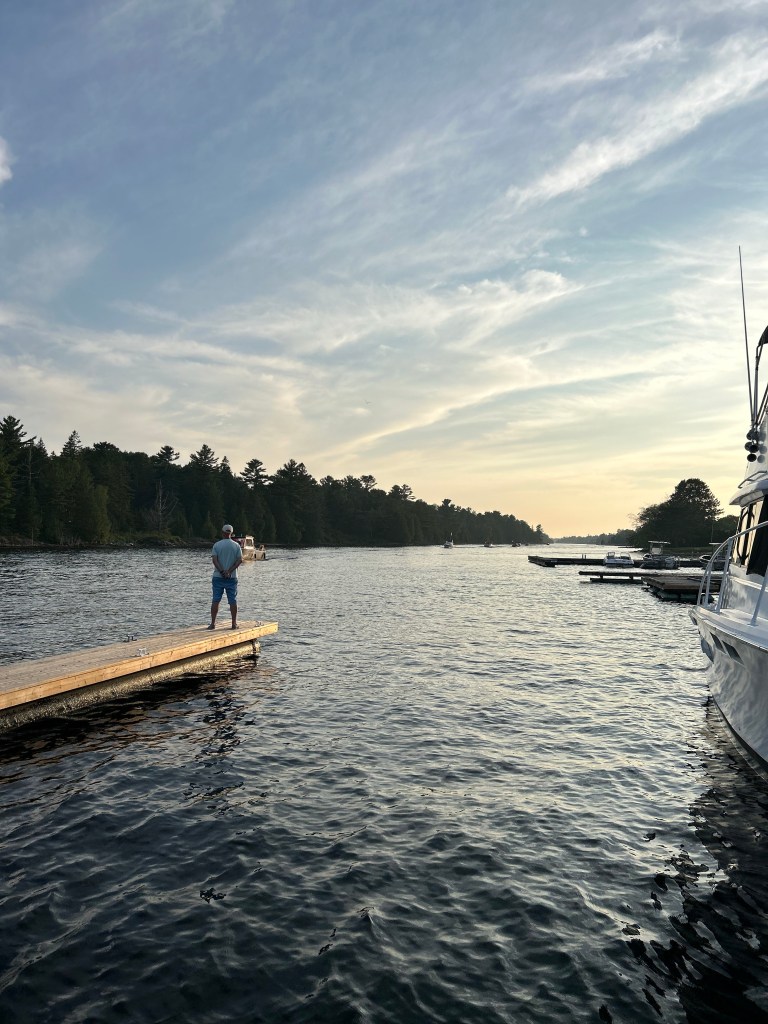
But the eastern shore of Georgian Bay is a unique cruising area not found anywhere else. This freshwater sea is blessed with clear water and there’s nothing like a blue day on the Bay. Sun shining, weathered pink and grey rocks, wild flowers, blueberries, sea birds overhead. Lovely.