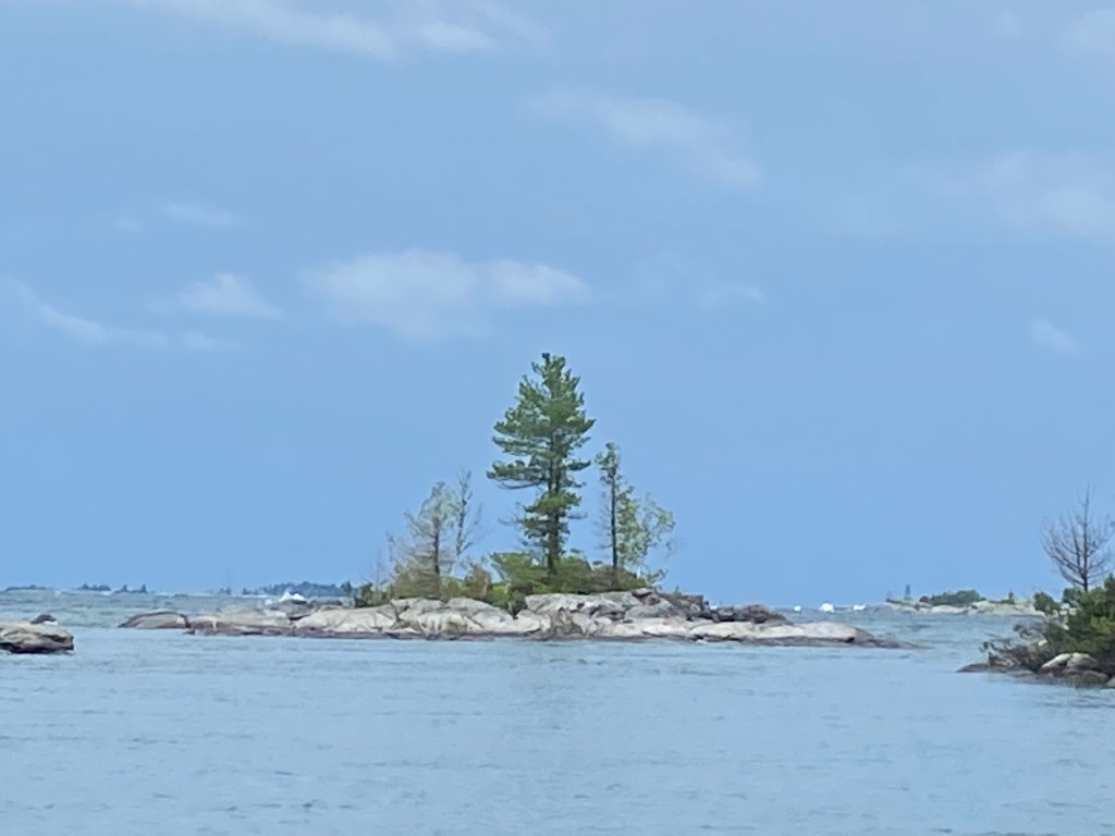
There are a lot of islands in the Thirty Thousand Islands. There are large islands like Parry, Sandy, Beausoleil and Franklin. These islands are miles long and miles wide. There are many, many small islands that are measured in acres and often home to a summer cabin. Some are protected and their still waters and lusher vegetation reflect that. Other islands are small and nothing more than rocky bumps. Then there are the outer islands.
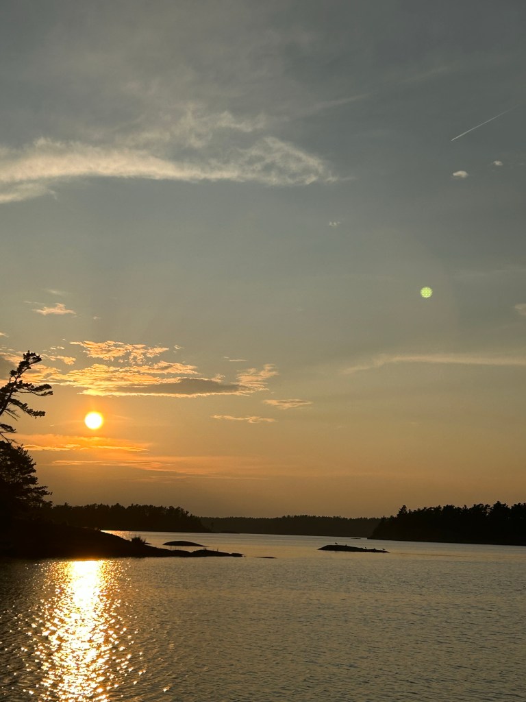
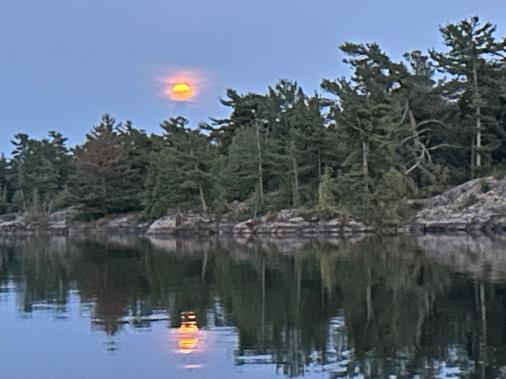
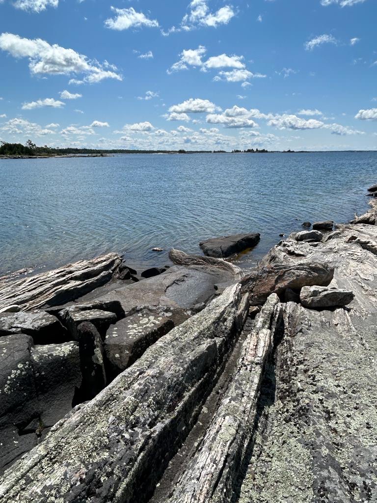
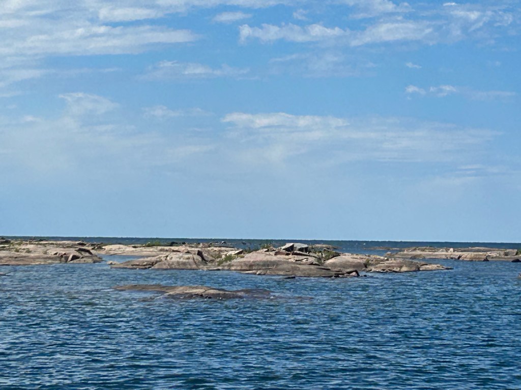
The low-lying, outer islands stand further into the open bay where large rolling waves collide with their rugged granite, gneiss, quartzite, and even limestone rock. The vegetation is usually sparse and trees are permanently bent to the prevailing west winds. Storm driven waves send large columns of water into the air and buff their surfaces smooth. As kids, we called these crashing waves ‘the atomic wars’ and loved watching them through binoculars from the protection of land miles inshore. It gave you a sense of the power and fury of wind in a world of water.
These natural breakwaters are never referred to by their full names. The Mink Islands are referred to as ‘the Minks.’ The McCoy Group is called ‘the McCoys;’ the Limestone Islands are called the ‘the Limestones,’ the Umbrella Group is called ‘the Umbrellas’ and so on and so on. ‘The Western Islands,’ are so far into the open bay that the shore can’t be seen on any side, and are nicknamed ‘the Westerlies.’ And then there is the Baker Group who locals refer to as the ‘Nethermost.’
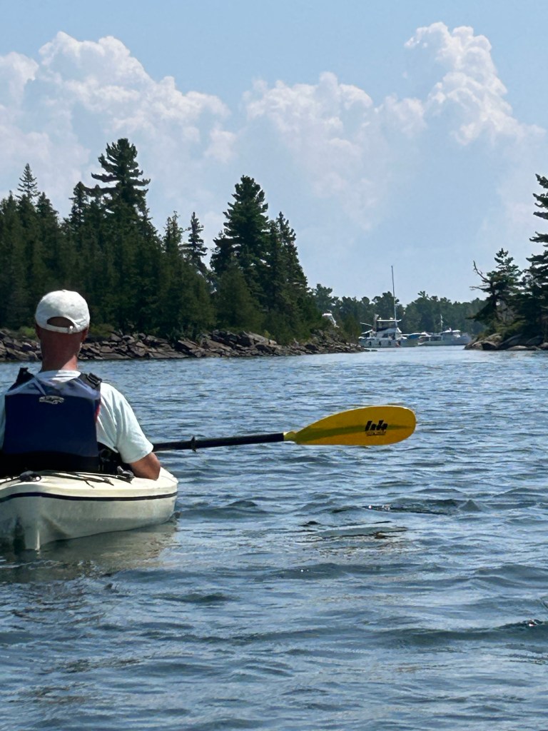
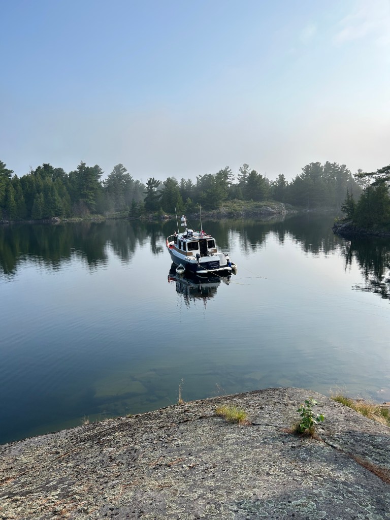
As cottagers, we used these islands for day trips. On a calm, sunny day we would pack lunch, drinks, bathing suits and towels and head directly west to the Nethermost. There was no buoyed channel so we picked our way using paper charts and landmarks like a twisted trees and knobs of rocks. The big boat (21 foot) was rarely used on such a trip, preferring to use the 13’ Boston Whaler. We would tie the boat to whatever rock was available and wade to shore. There were a few stunted trees but between the rocks, marshy plants and animals would live. Lots of frogs, snakes, birds everywhere. For a cruiser, finding a protected cove with enough mud to hold an anchor overnight can be hard, so gunk-holing is rare and our only company would be other picnickers. For the most of the outer islands, only kayakers spend the night.
The Bustards in the northeast corner of Georgian Bay, were an exception to the barren landscape. Five miles off shore, these islands are tightly grouped and have a healthy forest. The Bustards instantly became one of our favourite places. Beautiful, protected anchorages and great kayaking can be found in the narrow channels between the islands.
Many of the outer islands are opportunities for land protection because of their unique environments. The Limestones are an Ontario provincial park and that park is closed to all visitors until August 1st every year to protect its offshore bird habitat. The Georgian Bay Land Trust has purchased islands in the Umbrellas, the McCoys, parts of Sandy Island and others, protecting these great places from future development. Other islands have been designated conservation areas by the province. Georgian Bay Islands National Park has also secured islands for camping, cruising and protection.
If you ever get a chance to go to any of the outer islands, it is well worth it. Smooth, warm rock; crystal clear water; big sky; big water and lots of wildlife.